Membership Library
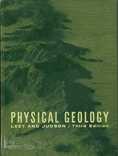
Physical Geology
This well-preserved 1965 edition of “Physical Geology” by L. Don Leet and Sheldon Judson offers a window into the mid-20th century study of Earth’s processes. Published during the pivotal era when plate tectonics theory was gaining acceptance, this textbook represents a transformative period in geological thought. With clean pages and a sturdy binding, it’s a valuable addition for collectors interested in the history of Earth sciences or vintage academic texts, allowing them to explore the scientific perspectives of a bygone era.
Geology of the Carlsbad Caverns East Quadrangle, New Mexico
Department of the Interior United States Geological Survey With a chapter on the geological development of the Carlsbad Caverns
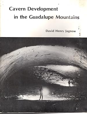
Cavern Development in the Guadalupe Mountains
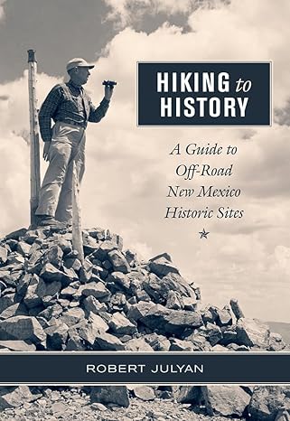
Hiking to History: A Guide to Off-Road New Mexico Historic Sites
With more than 13,000 years of human habitation, New Mexico offers a wealth of historic sites located on vast tracts of land well off the beaten path. As author Robert Julyan observes, not much history has been made from a speeding car, and locations that have to be reached on foot are almost always less altered by parking lots, visitor centers, roadways, or traffic noise. Written for both outdoor enthusiasts and vicarious travelers, Hiking to History describes the historical significance behind these publicly accessible sites and includes GPS coordinates to enable readers to find each place. Ranging from the state's principal Civil War battlefield at Glorieta to the dirt road where a broken wagon wheel led two young artists to settle in Taos in 1898, the scenes provide an up-close experience of the state's remarkable past.
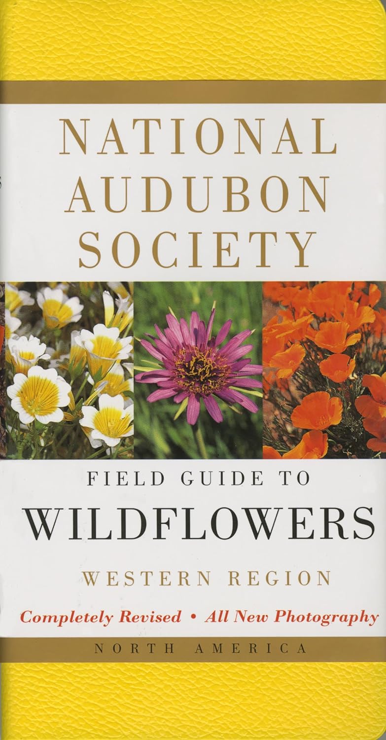
National Audubon Society Field Guide to Wildflowers Western Region
Nothing is as colorful as a field of wildflowers in full-bloom so what could be more appropriate than a magnificent field guide with beautiful full-color photographs? More than 1,000 species are covered in full detail, with notes on more than 400 others. The 700 identification photographs show wildflowers-including grasses and sedges, and many flowering vines and shrubs-in their natural habitats. Note: the Western Edition covers the Rocky Mountain range and all the states to the west of it, while the Eastern Edition generally covers states east of the Rocky Mountains.
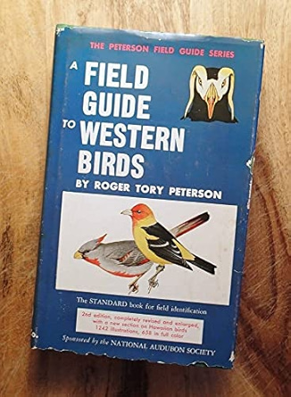
A Field Guide to Western Birds
The Peterson Field Guides (PFG) are a popular and influential series of American field guides intended to assist the layman in identification of birds, plants, insects and other natural phenomena. The series was created and edited by renowned ornithologist Roger Tory Peterson (1908–1996). The PFG series utilized what became known as the Peterson Identification System, a practical method for field identification which highlights readily noticed visual features rather than focusing on the technical features of interest to scientists. The series both reflected and contributed to awareness of the emerging environmental movement.
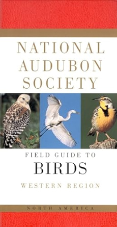
The Audubon Society Guide to North American Birds, Western Region
Virtually every bird found in western North America is brought to life in this portable guide, an essential companion in the field and a staple in any birdwatcher's library—a birding bible for more than four million enthusiasts! This bestselling field guide features a durable vinyl binding and brilliant full-color photographic identification pictures arranged for quick access and definitive text, including information on the bird's voice, nesting habits, habitat, range, and interesting behaviors. Accompanying range maps; overhead flight silhouettes; and sections on bird-watching, accidental species, and endangered birds make the National Audubon Society's Field Guide to North American Birds the most comprehensive available. Note: The Western Edition covers the Rocky Mountain range and all the states to the west of it, while the Eastern Edition generally covers states east of the Rocky Mountains.
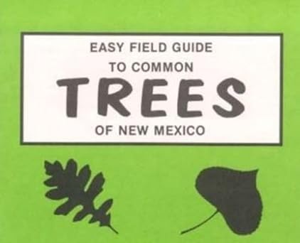
Easy Field Guide to Common Trees of New Mexico
In clear and concise language and drawings, these booklets describe the common species the reader is likely to come across in Southwestern terrain.
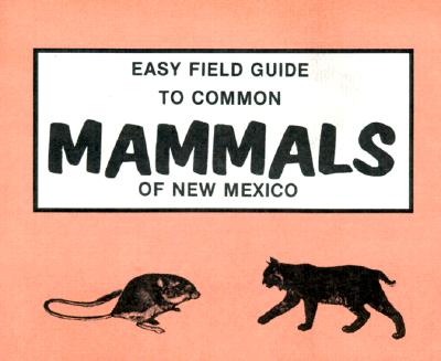
Easy Field Guide to Common Mammals of New Mexico
In clear and concise language and drawings, these booklets describe the common species the reader is likely to come across in Southwestern terrain.
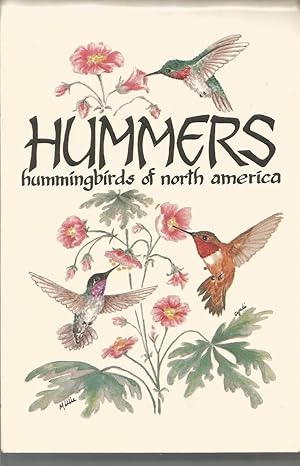
Hummers: Hummingbirds of North America (Pocket Guide)
Reminiscent of nineteenth-century botanical prints, the full-color illustrations in this small nature guide are miniature watercolors, as delightful to look at as they are accurate. With each illustration the reader will find the polular and scientific names, size, range, and a concise description of the habitat or an interesting bit of lore. Ideal for the backpacker or dayhiker, the book fits handily in the pocket.
