Membership Library
Roadside Geology of New Mexico
The Land of Enchantment, New Mexico is as varied in its scenery as its nickname suggests. With desert lowlands in the south and high, hoary peaks in the north, with rugged volcanic uplands and colorful plateaus, with high plains along its eastern border
New Mexico Geological Society Fall Field Conference Guidebook – 37 Truth or Consequences Region
The first-day road log is from Truth or Consequences to Sierra Cuchillo, Winston, South Fork Cuchillo Negro Creek, Fluorine, and Central Black Range. This tour will visit the volcanic areas northwest of Truth or Consequences in the Sierra Cuchillo, Winston graben, and Black Range. The tour will emphasize: Miocene to Pleistocene stratigraphy and sedimentology of the Palomas Formation, stratigraphy of the Rubio Peak Formation including spectacular exotic bloacks of Pennyslvanian limestone, Ag, Au, Cu fissure-vein mineralization of the Chloride mining district, and pyroclasitc volcanism and tin mineralization associated with the Taylor Creek Rhyolite. The second-day road log is from Truth or Consequences to Fra Cristobal Range via Elephant Butte Dam, Northern Caballo Mountains, Cutter Sag, and Jornada del Muerto. The trip describes the Tertiary and Quaternary Palomas Formation, Quaternary terrace deposits, Cretaceous and early Tertiary stratigraphy, and Pliocene basalts. Access to the Fra Cristobal Range was available by special arrangement for the conference. Individuals and groups may not return for subsequent tours without permission from the landowners. The third-day road log is from Truth or Consequences to southeastern Caballo Mountains and San Diego Mountain via I-25 and the Jornada del Muerto. This day's tour will focus on Laramide tectonics in the southern Caballo Mountains and the Tonuco uplift (San Diego Mountain).
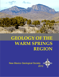
Geology of the Warm Springs Region
The spiral-bound edition has just the road logs. Majestic mountain sky islands, deep dark canyons, and hidden springs interrupt the vast desert landscape of the Warm Springs region in south-central New Mexico. In this guidebook we examine the spectacular geology that led to the formation of these landforms in what may well be the most geologically complex part of New Mexico. Rock exposures in the this region represent almost the entire record of geologic time; from granites over a billion years old to modern river deposits of the Rio Grande. We will revisit areas were groundbreaking geological studies were first published in addition to new studies on extinct volcanoes, mining areas, archeological sites, and desert soils. In this volume, six road logs explore different portions of the Warm Springs region, twenty-six minipapers discuss specific geologic features along the way, and thirty scientific papers provide details on geologic features and processes. These articles discuss a wide range of geological topics including regional geology, impact structures, igneous and sedimentary petrology, stratigraphy, paleontology, and earth resources.
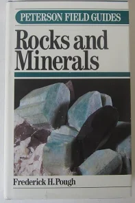
A Field Guide to Rocks and Minerals- Peterson Field Guides
The definitive guide to rocks and minerals, completely updated for the fifth edition, includes 385 color photographs showing rocks, minerals, and geologic formations. Hundreds of minerals are described, with details such as geographic formations. Hundreds of minerals are described, with details such as geographic distribution, physical properties, chemical composition, and crystalline structures.
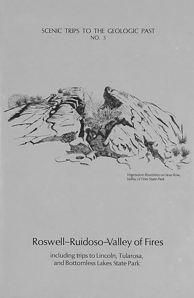
Scenic Trips to the Geologic Past #3: Roswell-Ruidoso-Valley of Fires Including trips to Lincoln, Tularosa, and Bottomless Lakes State Park
High mountain ranges and alpine meadows strike a contrast with semiarid cactus-covered plains and dry arroyo beds as this handbook guides the visitor on seven tours to the west and east of Roswell in the Pecos Valley of southeast New Mexico. These revised scenic trip road logs and their des- criptions of the geology, history, and scenery cover the main routes from Roswell westward through Hondo, Lincoln (site of the Lincoln County Wars), Capitan, and Carrizozo, to the Valley of Fires State Park; then south along the flanks of towering Sierra Blanca through Nogal to Ruidoso, Mescalero, and Tularosa; and eastward past Ruidoso Downs returning to Roswell. An eastern side trip is to Bottomless Lakes State Park. Routes one and two lead west into the Lincoln National Forest and Capitan Mountains to Ruidoso. Trip three follows the Rio Bonito valley up through historic Lincoln, famous for the Lincoln County cattle war and the exploits of Billy the Kid and Sheriff Pat Garrett. Farther west, near Capitan, is Smokey Bear State Park and a historic marker honor-ing the rescue of the famous bear cub from a forest fire in Capitan Gap in 1950. This trip terminates at Valley of Fires State Park and the barren lava flow that remains as a stark reminder of the birth of the volcanic Little Black Peak only a thousand years ago. Road logs five and six include the Mescalero Apache Indian Reservation and the Sierra Blanca ski resort with its spectacular tram ride and view from this southernmost peak in the United States. The last trip east of Roswell to Bottomless Lakes State Park features crystal-clear lakes for swimming, boating, and fishing.Roswell–Ruidoso–Valley of Fires, including trips to Lincoln, Tularosa, and Bottomless Lakes State Park.
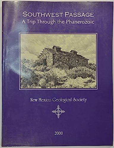
Southwest Passage: A Trip Through The Phanerozoic
Guideboook of the 51st New Mexico Geological Society Field Conference (Lordsburg, October 18-21, 2000). Includes Grant, Luna and Hidalgo Counties.
Roadside Geology of Arizona
The rise of mountains and the spread of deserts has marked the geologic history of Arizona. Landscapes that we see today are here because of landscapes of the past, and because of tremendous forces deep within the earth, forces that carry continents into collisions and then drag them apart again, forces of heat and pressure and the slow churning boil of the earth's interior. Landscape features result, too, from more comprehensible, more recent forces: the unending attack of water and wind and frost, the building of volcanoes, the short-term geologic happenings like landslides and rockfalls, earthquakes and floods, and a gopher digging a hole.
Roadside Geology of Wyoming
Above all else, Wyoming is a geological state. In every corner of every mountain range and basin within this big state there is a geological story recorded in the rocks. Here is the overall story of Wyoming's geology and history based on clues left in the state's rocks.
Roadside Geology of Colorado
The rocks and landforms have not changed much since the publication of the first edition of the Roadside Geology of Colorado in 1980, but our understanding of them has. With expanded coverage, updated maps, new photographs, and the latest geologic interpretations, this nontechnical guide introduces you to the tumultuous geological history of Colorado s mountains, plateaus, and plains. The second edition includes tours of Black Canyon in Gunnison National Park, Rocky Mountain National Park, Dinosaur National Monument, Great Sand Dunes National Monument and Preserve, Mesa Verde National Park, and Florissant Fossil Beds National Monument.

Gem Hunter’s Guide
A complete state-by-state directory to tested digging sites. Easy-to-understand instructions for recognizing rock formations: glossary. How to identify gem minerals and judge their value.